


 218-326-5573
- Details
- Written by Matt Gutzmann
- Category: Frontpage
- Hits: 4283
Join us for Our Future Forests workshop on Saturday, October 4th at Minnesota North Community College in Grand Rapids!
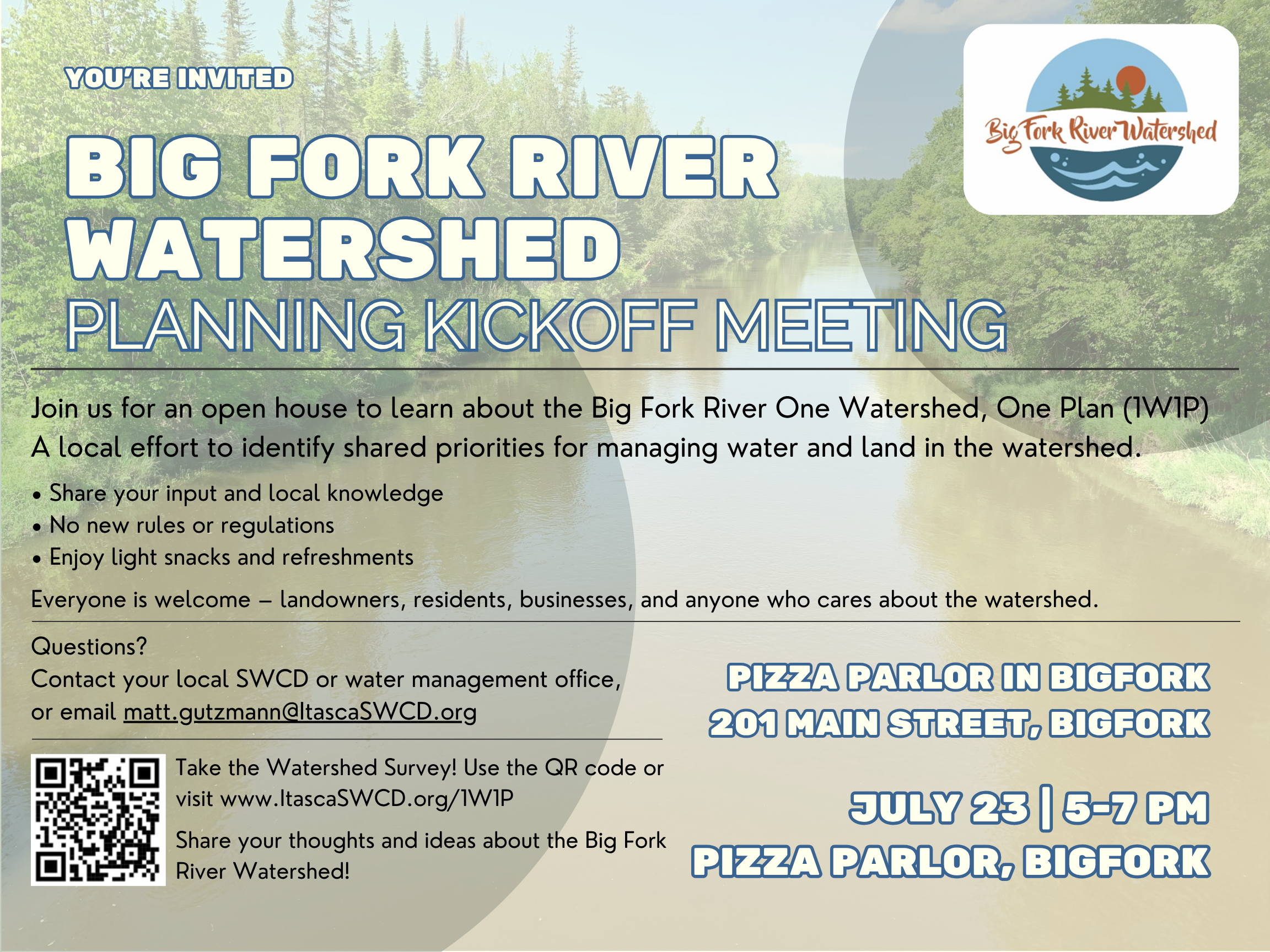
One Watershed, One Plan
Comprehensive Watershed Management Plans
Click on a watershed to learn more about their watershed management plans