Little Fork River
One Watershed, One Plan
The Little Fork River Watershed has begun the Comprehensive Watershed Planning Process. This will identify priority areas in the watershed to implement voluntary practices to improve water quality in the watershed. To learn more about the watershed planning process, see the Little Fork River 1W1P website.
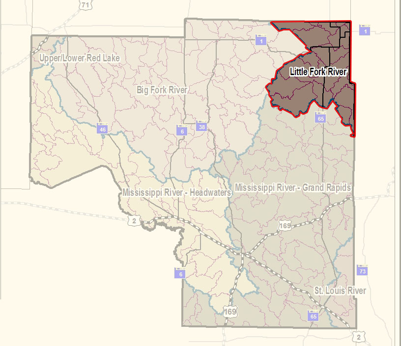
The Little Fork River watershed is 1,179,520 acres, the main stem flowing 160 miles through north central St. Louis County and heading northwest into Koochiching County. It flows more northerly until it reaches its confluence with the Rainy River about 11 miles west of International Falls. There are no large cities in this remote watershed. Cook’s population is 667 and Littlefork, 874.
Characteristics
The main resource concerns in the watershed are mainly related to sediment issues in the river reaches, and eutrophication issues of the headwater’s lakes. These riverine resource concerns are related to soils in the watershed as well as the geology of the area. While the watershed is very remote, human impacts are present and do contribute to the sediment issues in the river system. Forest fragmentation as well as drainage has contributed to some of the sediment issues in the watershed. Eutrophication and dissolved oxygen issues in the watershed could be related to human development in the watersheds of the impaired lakes, and in some cases may be natural background conditions.
Characteristics
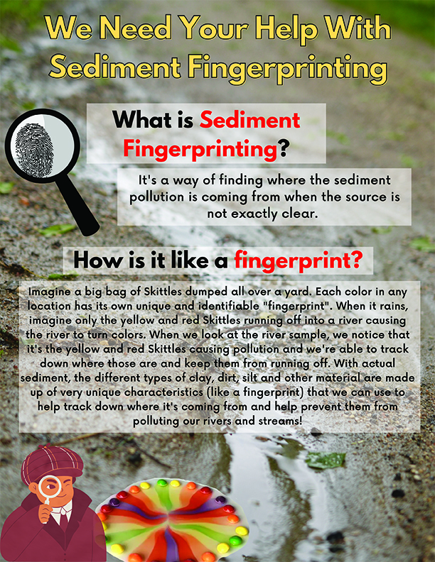
MPCA has worked for many years in the Little Fork River Watershed and has cooperated in several studies with other agencies such as the U.S. Geological Survey, MN DNR, International Joint Commission, and others in an effort to understand this complex system. In the fall of 2011, the MPCA completed the monitoring and assessment of the Little Fork watershed and results indicated several stream reaches with sediment problems. TMDL work was recently completed and the final WRAPS report is available in the link below. The Little Fork Watershed is currently in Cycle II of the WRAPS process. The Little Fork River is currently undergoing a sediment fingerprint study to determine the sources of sediment pollution. Sediment fingerprinting is a method used to look at the unique makeup of the sediment (dirt, sand, clay, etc) that causes the river to be off-colored and comparing them to sediment samples taken on land around the watershed. This helps determine where erosion is occurring so strategies can be used to decrease the sediment runoff. MPCA released a TMDL and WRAPS summary report in 2017 and detailed the results of their findings, you can click the links below for more information.


 218-326-5573
