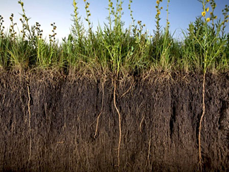
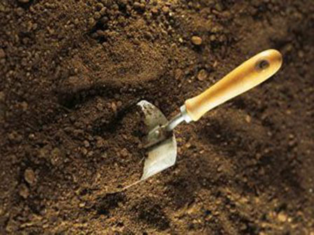
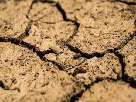
A soil survey is the process of classifying soil types and other soil properties in a given area and geo-encoding such information. It applies the principles of soil science, and draws heavily from geomorphology, theories of soil formation, physical geography, and analysis of vegetation and land use patterns. In the United States, these surveys were once published in book form for individual counties by the National Cooperative Soil Survey. Today, soil surveys are no longer published in book form; they are published to the web and accessed on NRCS Web Soil Survey where a person can create a custom soil survey. This allows for rapid flow of the latest soil information to the user. In the past it could take years to publish a paper soil survey. Today it takes only moments for changes to go live to the public.


 218-326-5573


