


 218-326-5573

The Itasca SWCD receives funding through several projects from the Minnesota Pollution Control Agency (MPCA) as part of the Clean Water Fund initiative to collect water quality data as well as civic engagement outreach to the community, and participate in water planning by geographic areas called a major watershed. The state of Minnesota is comprised of 80 major watersheds which are drainage areas based on topography of the landscape. Itasca County has a part of 6 different major watersheds, including; Red Lake, Big Fork River, Little Fork River, St. Louis River, Upper Mississippi River – Headwaters, and the Upper Mississippi River – Grand Rapids.
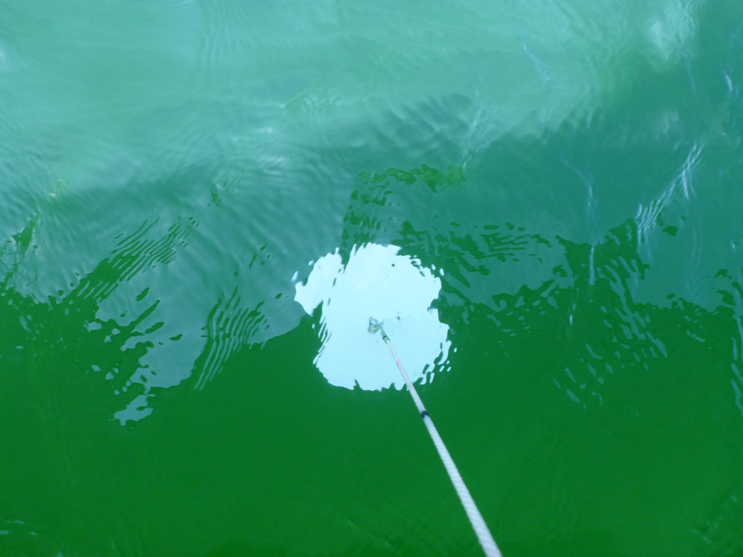
Itasca SWCD is contracted by the MPCA to collect water samples, field parameters, photos, and site observations from Itasca County lakes and streams under the Watershed Pollutant Load Monitoring Network (WPLMN) and Surface Water Assessment Grants (SWAG). Surface Water Assessments are granted for the first two years of Intensive Watershed Monitoring as part of the Watershed Restoration and Protection Strategies (WRAPS) ten-year cycle. Water quality samples are brought to RMB environmental lab located on the Itasca Community College campus for analysis. The data from each sample, along with the other field information is entered into the State of Minnesota’s EQuIS database, where it is used to determine if a waterbody is meeting the State of Minnesota’s water quality standards. The standards are based on waterbody use classified by the MPCA in their Tiered Aquatic Life Uses (TALU) Framework. Most Itasca County waters are classified according to Aquatic Life and Recreational use standards.
These Surface Water Assessment Grants (SWAG) are part of the Intensive Watershed Monitoring phase of a larger ten-year rotating framework for assessing watershed health and working with local partners (SWCD’s amongst others) to gather community stakeholder participation in creating a comprehensive watershed plan for each major watershed. The Intensive Watershed Monitoring (SWAG) occurs within the first two years of the ten-year framework, followed by roughly three years of community conversations, under the Watershed Restoration and Protection Strategies (WRAPS) project. These community conversations provide the community with information as to the current state of our water resource health, as well as providing the public with opportunities to contribute ideas and opinions in real ways to watershed planning.
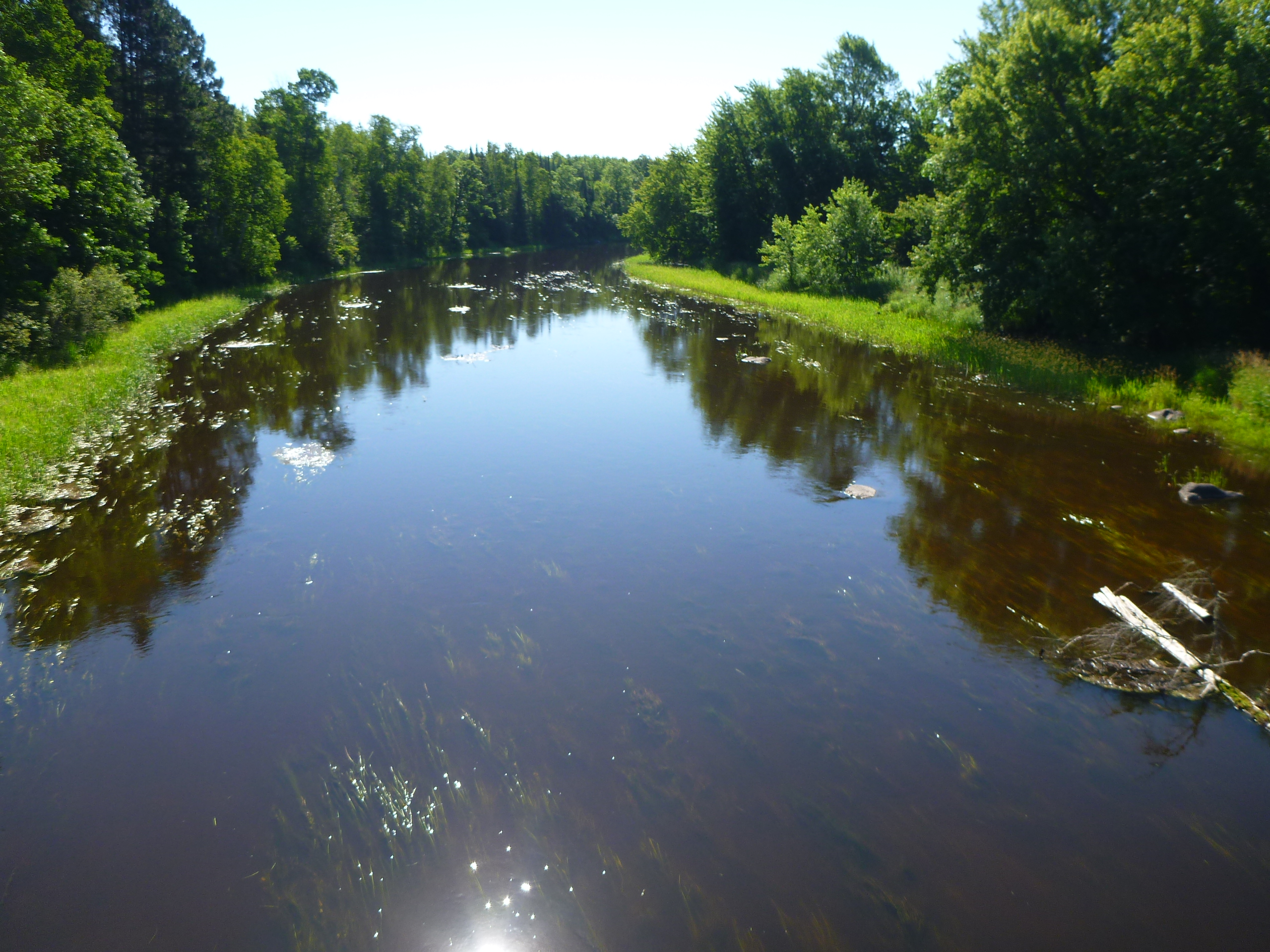
The Watershed Pollutant Load Monitoring Network (WPLMN) is a long-term water quality monitoring program designed to measure and compare pollutant load information from Minnesota’s rivers to track water quality trends through time. Data collected are used in assessing impaired waters, watershed modeling, determining pollutant source contributions, developing watershed and water quality reports, and measuring the effectiveness of water quality restoration efforts. Itasca SWCD began monitoring one sub-watershed site on the Big Fork River in 2013. In 2018, Itasca SWCD also began monitoring for a second site on the Big Fork River downstream from the primary site, located near Craigsville just across the border into Koochiching County.