

 218-326-5573
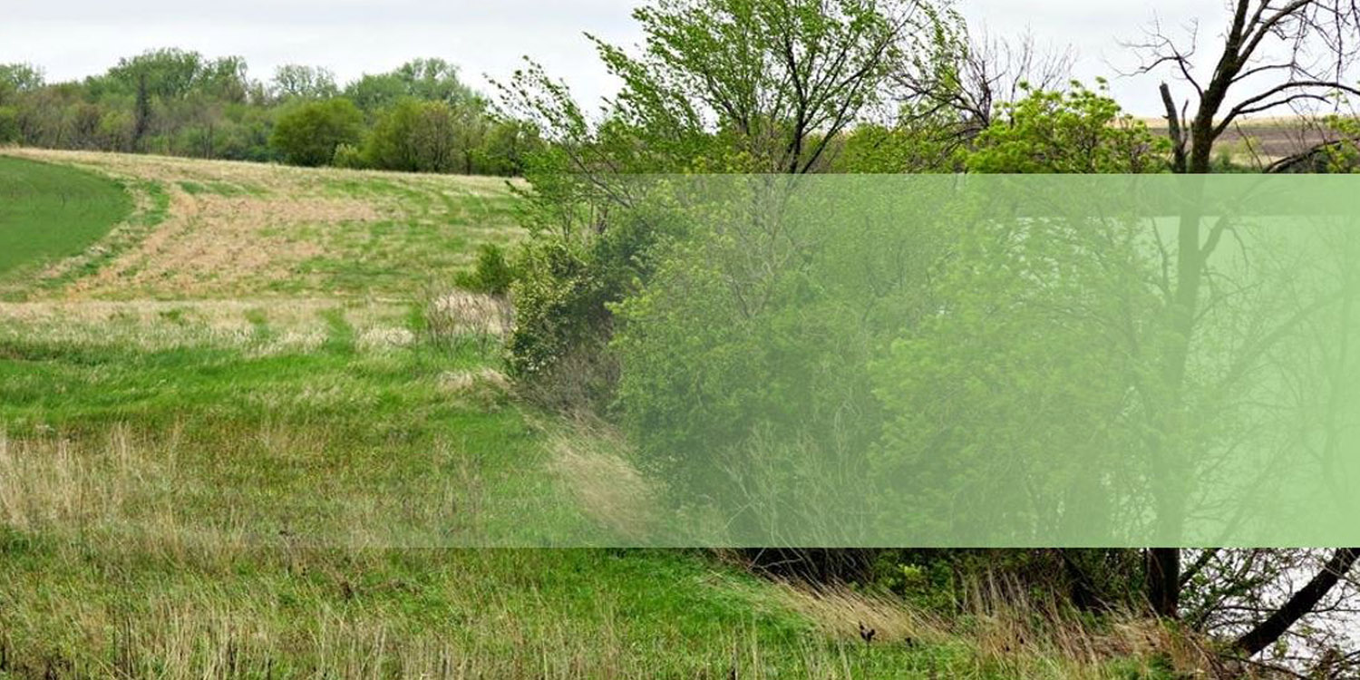
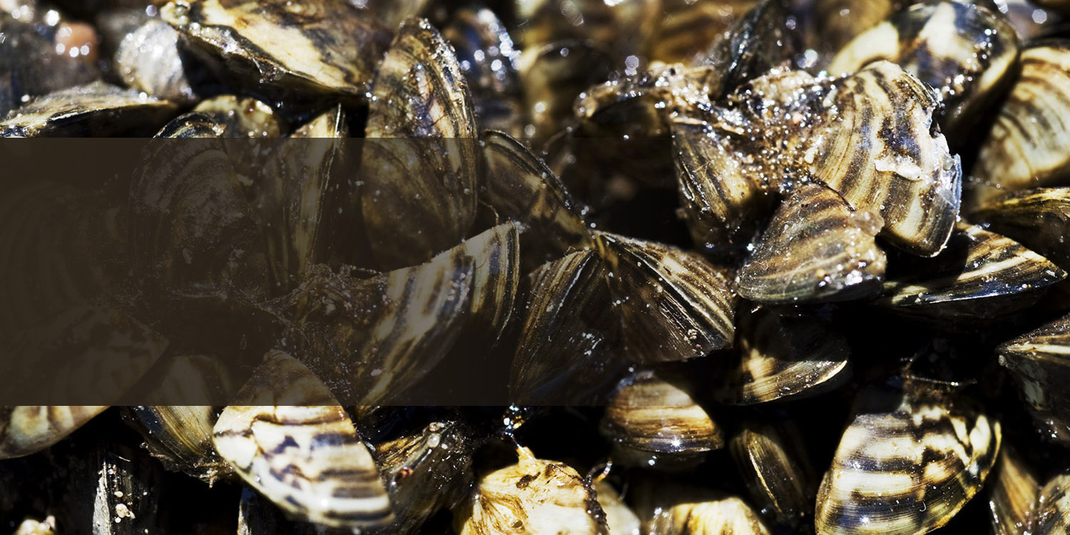


CLEAN all visible aquatic plants, zebra mussels, and other prohibited invasive species from watercraft, trailers, and water-related equipment before leaving any water access or shoreland.
Join us for Our Future Forests workshop on Saturday, October 4th at Minnesota North Community College in Grand Rapids!
One Watershed, One Plan
Comprehensive Watershed Management Plans
Click on a watershed to learn more about their watershed management plans
Upper Mississippi - Grand Rapids, One Watershed One Plan
Upper Mississippi - Grand Rapids Watershed
Comprehensive Watershed Management Plan
In 2022, the Board of Water and Soil Resources (BWSR) awarded a One Watershed, One Plan (1W1P) planning grant to the Upper Mississippi River - Grand Rapids watershed. This initiated a collaborative planning effort between local, state, and Tribal governments and local community members within the watershed. The planning group looked at issues and concerns within the watershed, developed potential practices and strategies to address those concerns, and outlined measurable goals to guide future work in the watershed.
The Comprehensive Watershed Management Plan (CWMP) for the Upper Mississippi - Grand Rapids watershed was approved in 2025. This document will be the guiding document for implementing voluntary water conservation practices through 2034.
Upper Mississippi - Grand Rapids 1W1P CWMP
Upper Mississippi - Grand Rapids Appendices
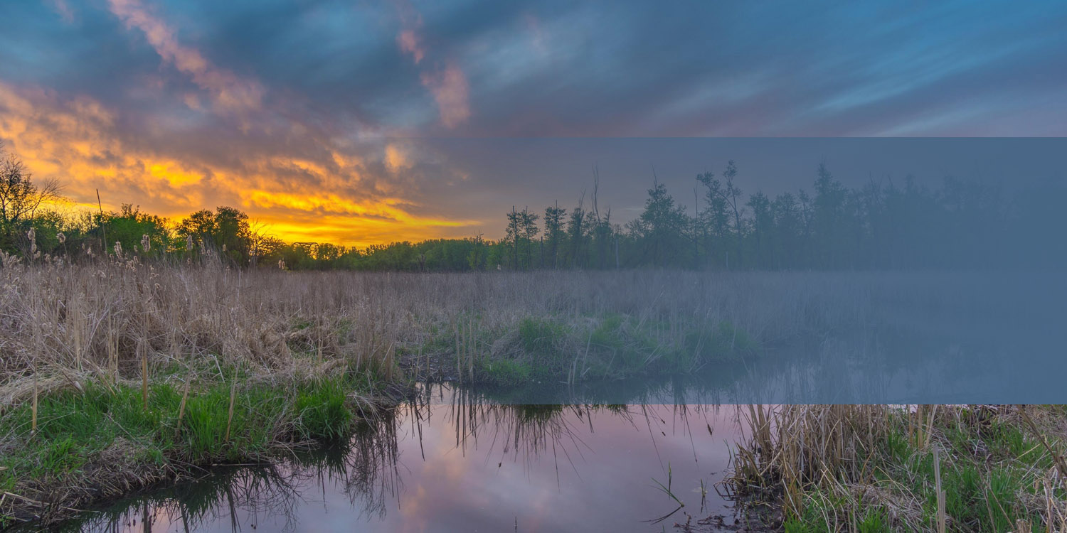
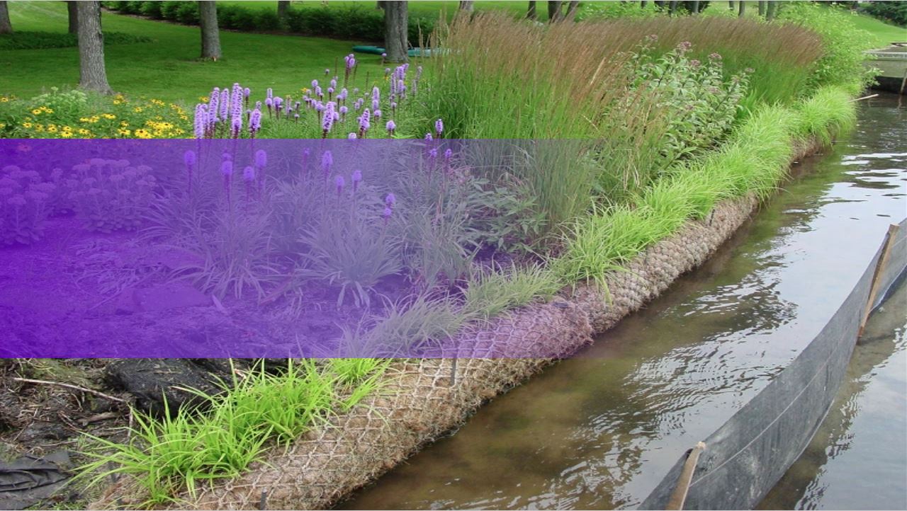
What is a WATERSHED? A watershed is an area of land where all the water from rain, snowmelt, and springs drains to a shared low point, such as a river, lake, or wetland. Watersheds vary in size and can include forests, farms, towns, lakes, and rivers. No matter where you live, work, or travel, you are always in a watershed.
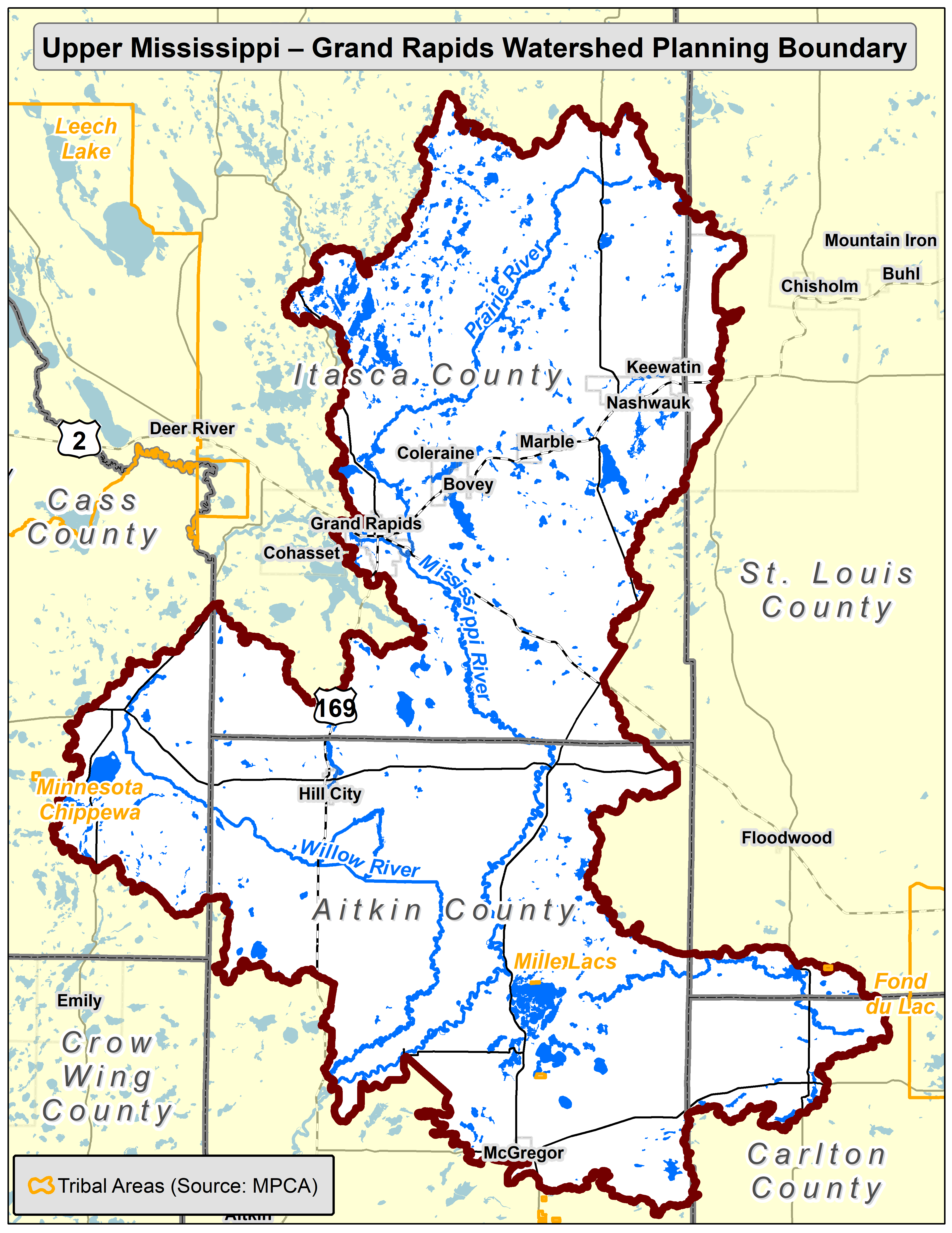
The Upper Mississippi – Grand Rapids watershed is located in north-central Minnesota. It covers over 2,000 square miles of land, almost 2,000 miles of rivers and streams, and 625 lakes. While the main stem of the Mississippi River flows from the U.S. Army Corp dam just west of Grand Rapids and flows south to where the Willow River flows into the Mississippi River SW of Palisade, the Mississippi River - Grand Rapids watershed also include all the area that collects water into smaller creeks and streams that eventually flow into the Mississippi River in this stretch. The way land is used in this watershed influences water quality, habitat, and community well-being.
What Is One Watershed, One Plan?
One Watershed, One Plan (1W1P) is a program in Minnesota that helps local governments and partners work together on shared water planning. Instead of each county or agency creating separate water plans, 1W1P encourages collaboration to develop one common plan for the entire watershed.
The goal is to create a comprehensive, long-term plan for managing land and water resources in the Upper Mississippi – Grand Rapids watershed. This planning process includes identifying local water issues and concerns, setting goals that reflect community values, coordinating funding and implementation efforts, supporting voluntary land management and conservation practices.
The planning partners for this comprehensive watershed management plan include Aitkin County, Aitkin SWCD, Carlton County, Carlton SWCD, Cass SWCD, Itasca County, Itasca SWCD, Salo Township, and the Mille Lacs Band of Ojibwe.
Advisory Committee Notifications
The Upper Mississippi Grand Rapids 1W1P has completed its advisory committee meetings. The planning committee is incredibly grateful to all of those who have dedicated their time to collaborating on this comprehensive watershed management plan.
Policy Committee Notifications
The next Policy Committee Meeting will be held Thursday, September 25th at 10:30am (location TBD).